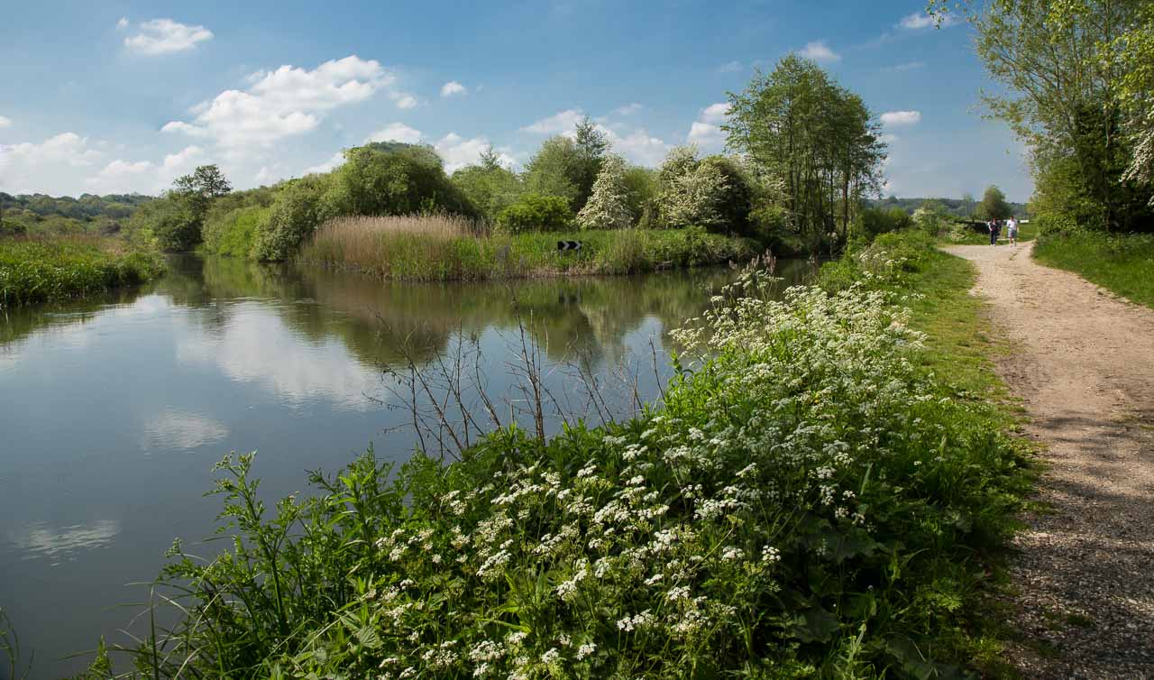
 The waterway is a mixture of canal and natural River Kennet and so is quite variable in character. Much of it is natural countryside, as shown left, but it passes through several small towns at which it takes on a more familiar narrow canal theme.
The waterway becomes the River Kennet at Woolhampton and ends up, unmistakably, as a broad river at Reading, where commercialism borders it in a big way. In between are some lovely stretches with characterful features in the towns.
The Lock at Woolhampton is very unusual in construction being a turf sided lock. Originally all the locks from Newbury to Reading were of this type. Only two of these are still in operation the other, Garston Lock, being on the Reading side of Theale. The sides of the lock are sloping so, when full, the lock is quite wide and hence takes a lot of water to operate. At Woolhampton the the canal merges into the fast flowing River Kennet for navigation to Reading and the River Thames.
About 200 years ago AldermastonWharf was a bustling trade centre from where goods were transported all over the world – coal, grain, beer, gravel and wood products were the cargo of horse-drawn barges carrying up to 100 tons. Today there is little evidence of the past and this now peaceful rural place has several attractive features (see photos). It has a fully automatic lift bridge which senses road traffic and your boat and lifts the bridge when conditions are right.
Sheffield Lock at Theale is again in a rural setting and has surrounding parkland in which to picnic. The walls of the lock are scalloped rather than flat and straight as can be seen in the photo. Here the road crossing is served by a swing bridge operated by the boater.
Reading centre is approached via County Lock, bypassing a weir. The canal then meanders through The Oracle. This is a modern built up area on both banks of the canal stretching for about 400 yards. The buildings largely house restaurants the tables of which spill out onto the canal side which also features family entertainments such as a Dinosaur putting green. This is not the place to moor your boat as such things are not catered for!
Below are photos taken along the route. And, below that a Google Map showing the places mentionedabove.
To view photos:
1. View a larger version of a single image in a separate page – Right Click on the image then Left Click on “Open link in new tab” or “Open link in new window”.
Or…
2. Display an enlarged gallery – Left Click on an image – use the large side arrows to move between images – Left Click outside an image or press ESC to close the enlarged gallery.


 from the east is boater operated.")

